This property has sold.
The interactive map and property-line walking tools remain available. Driving directions are not provided for sold properties.
Interactive property map
Explore this property map.
Switch aerial, topographic, soil, water, contour, and terrain layers while the mapped project boundary stays visible.
Property Documents
Property Description
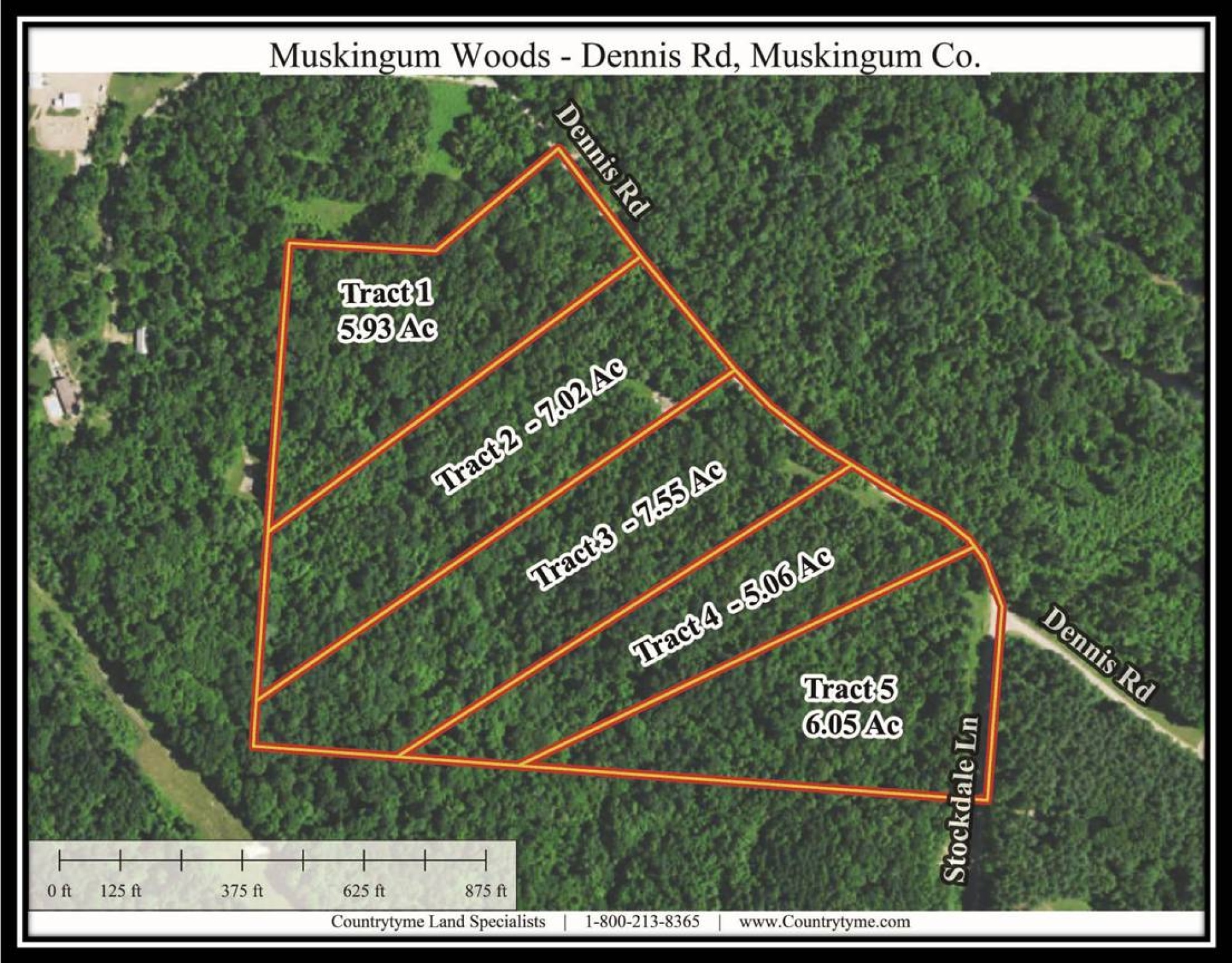
Tract 2 at Muskingum Woods7 Ac Wooded Cabin/Home Site or Recreational Retreat
Dennis Rd, Zanesville, Ohio
Muskingum County
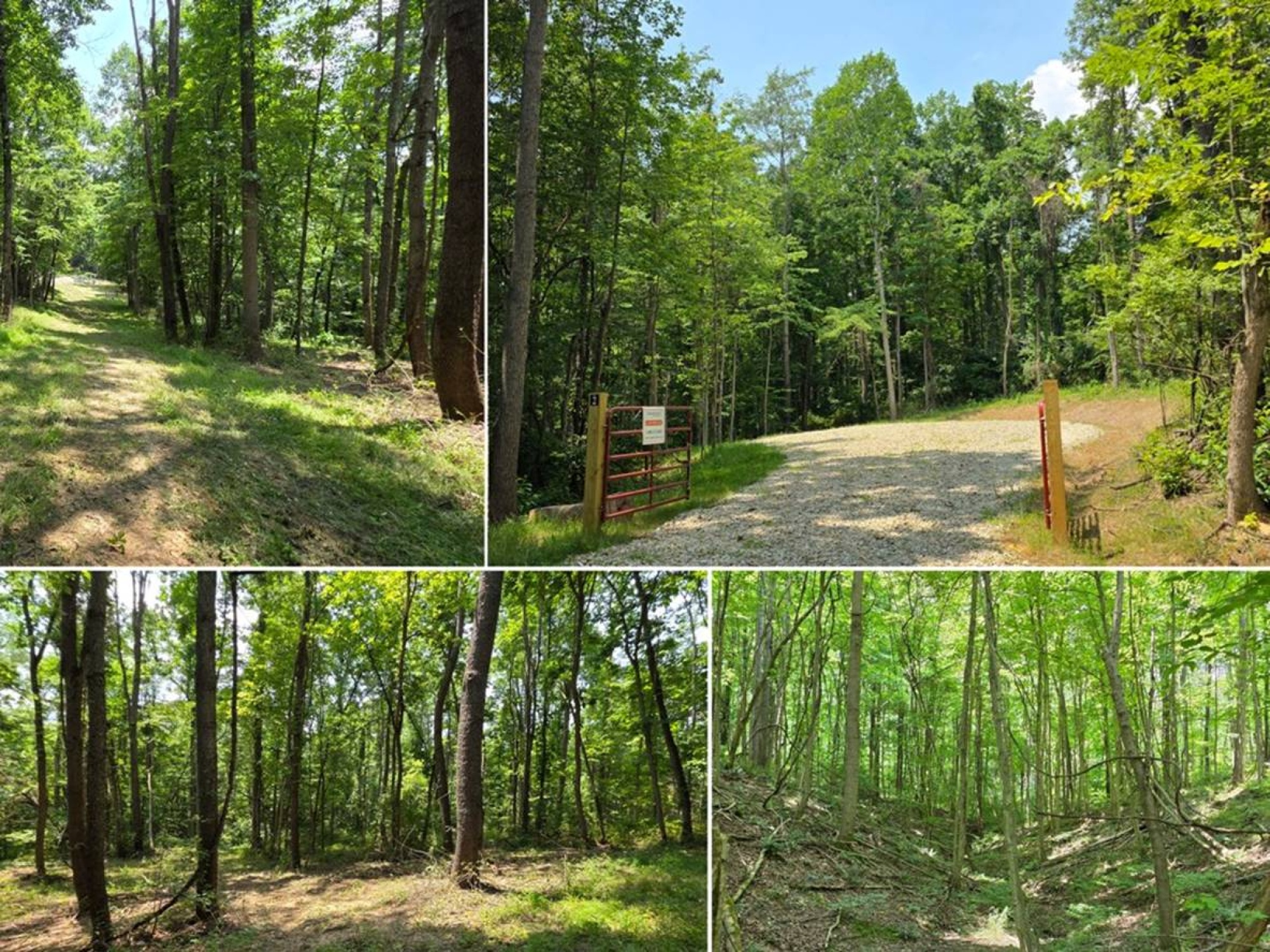
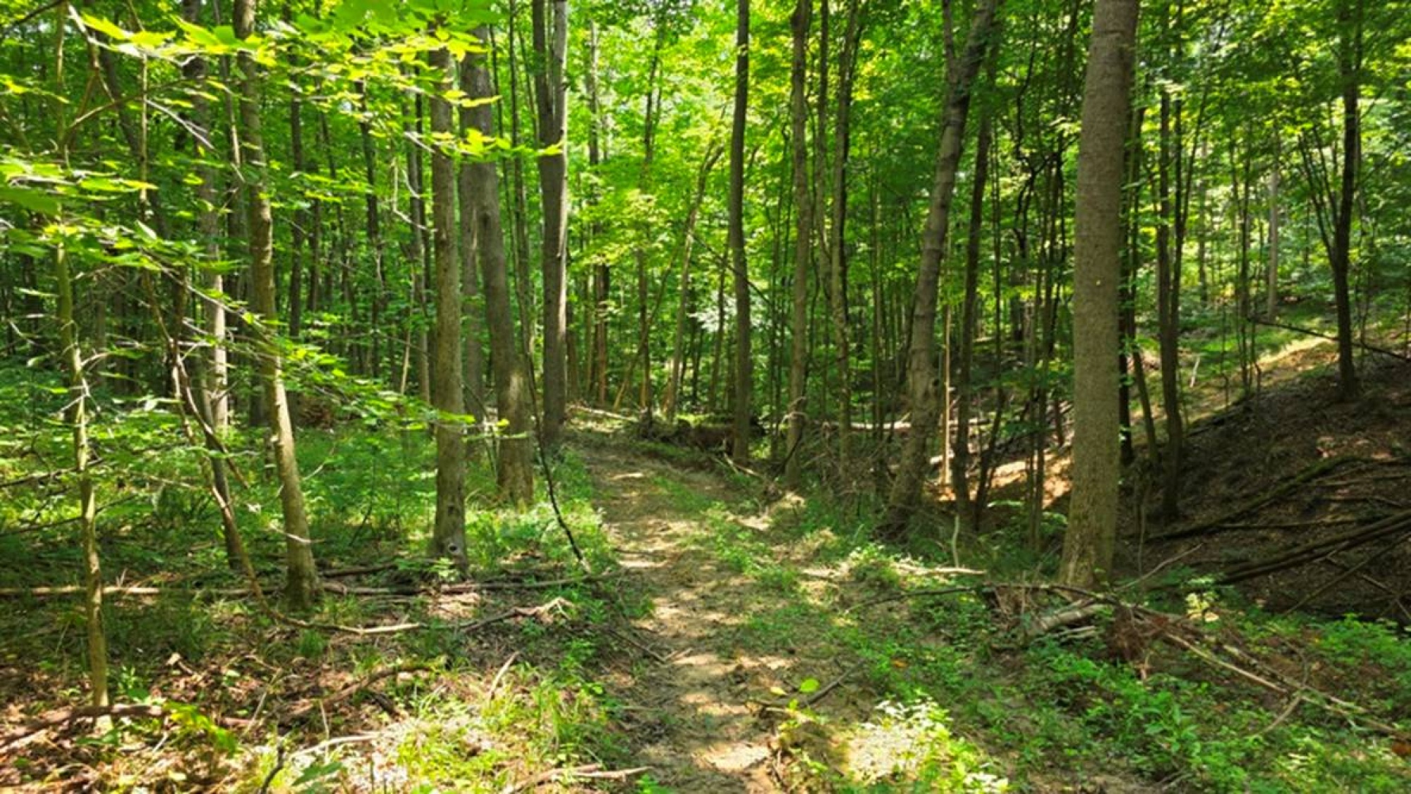
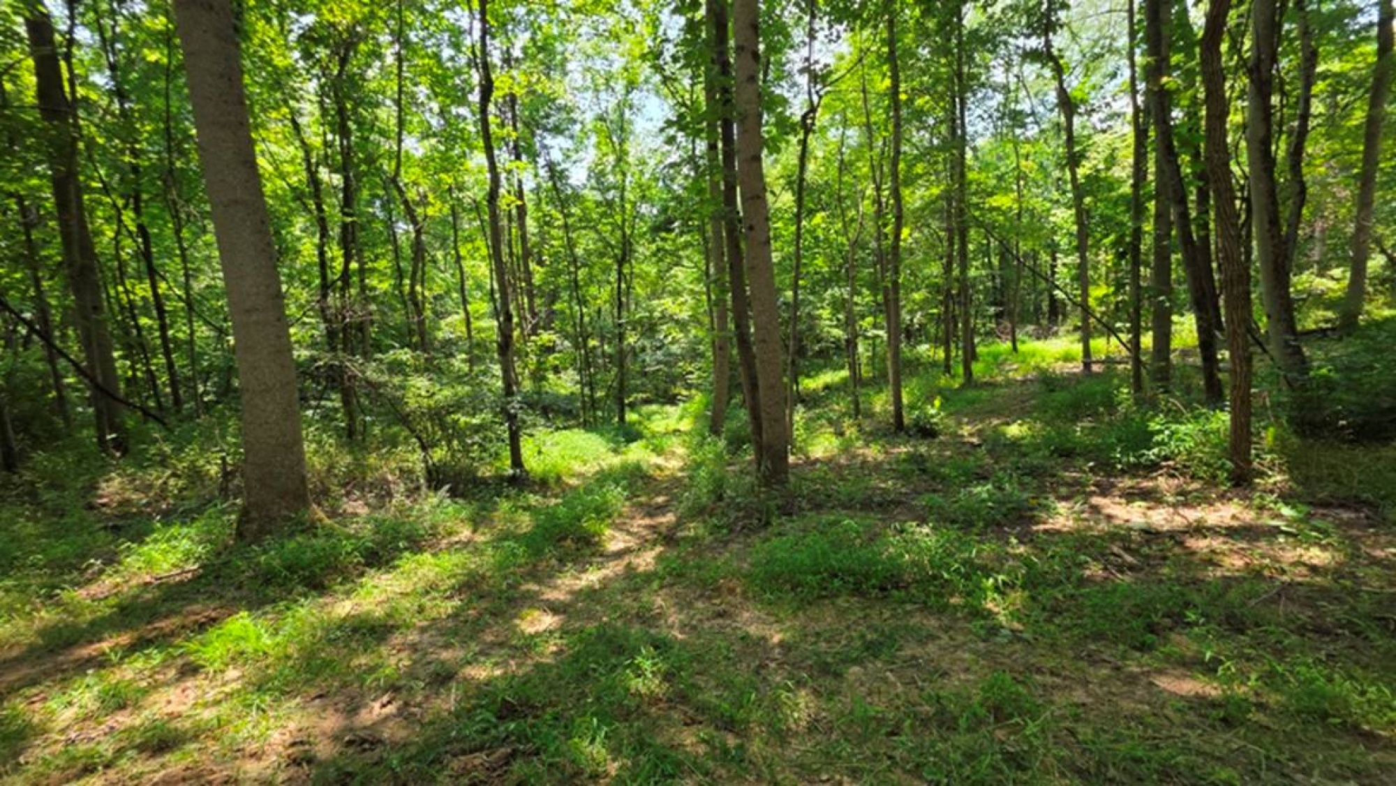
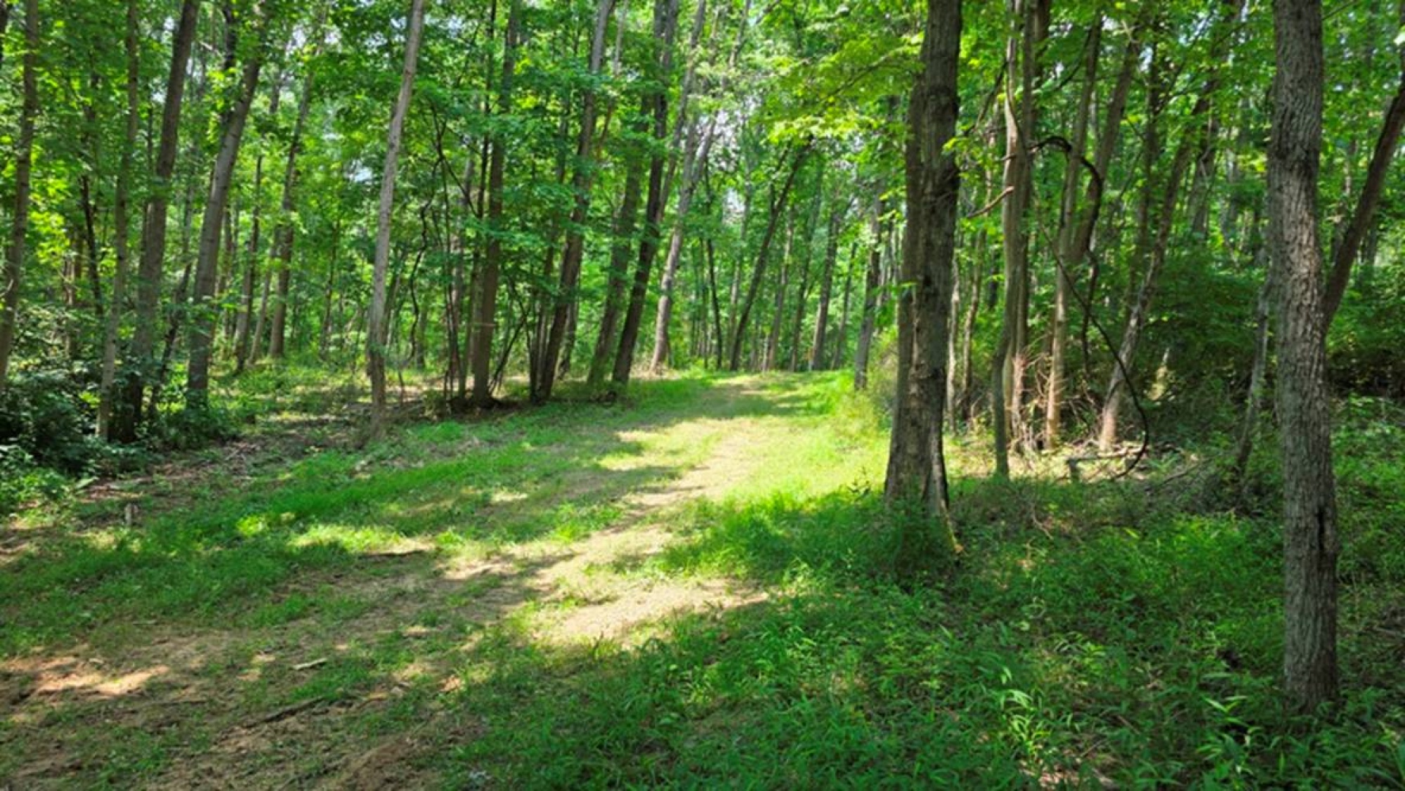
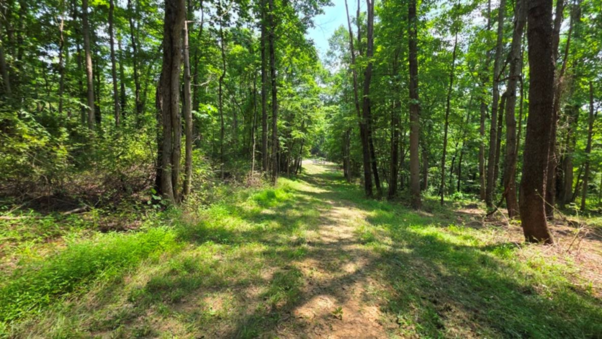
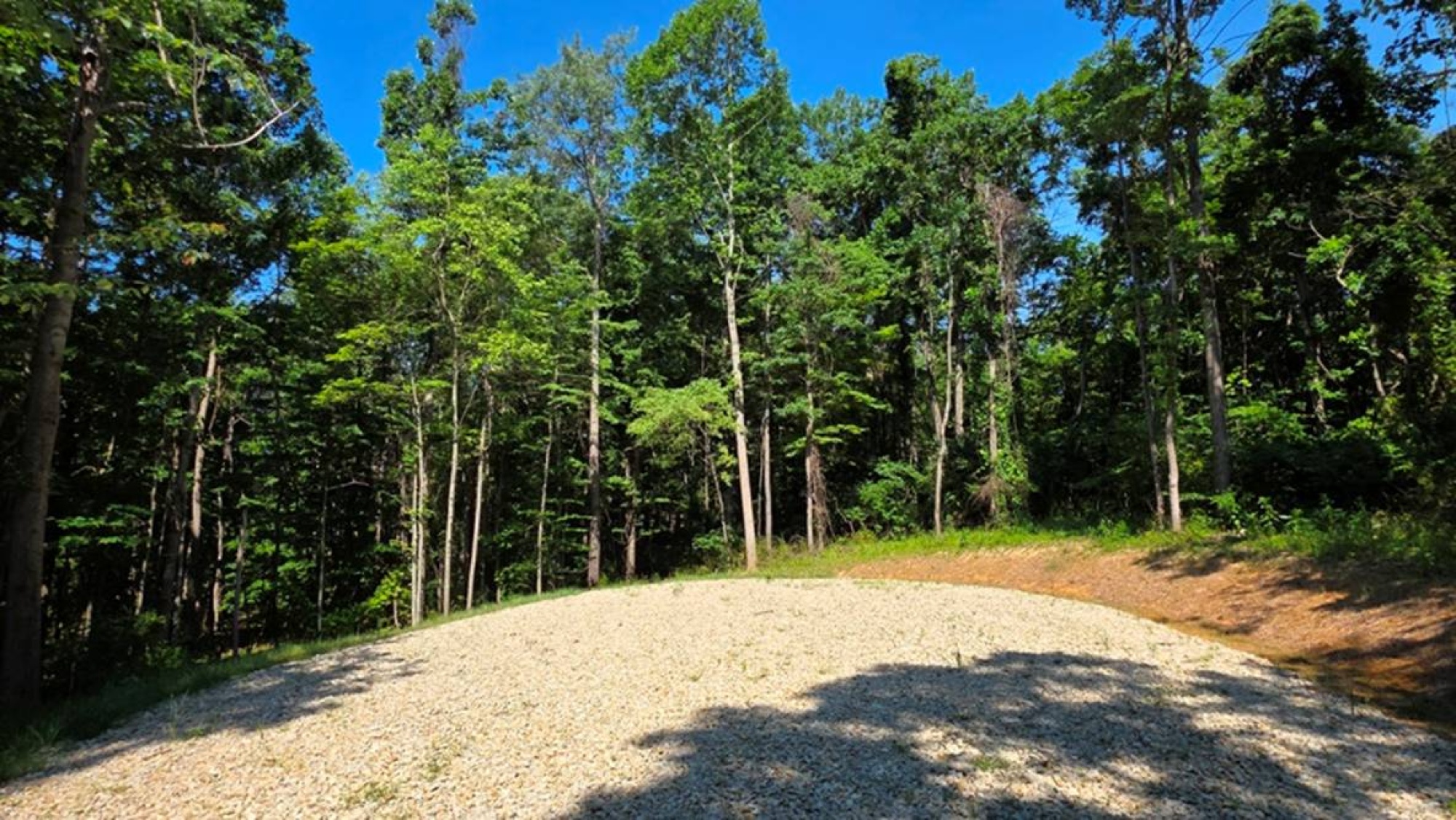
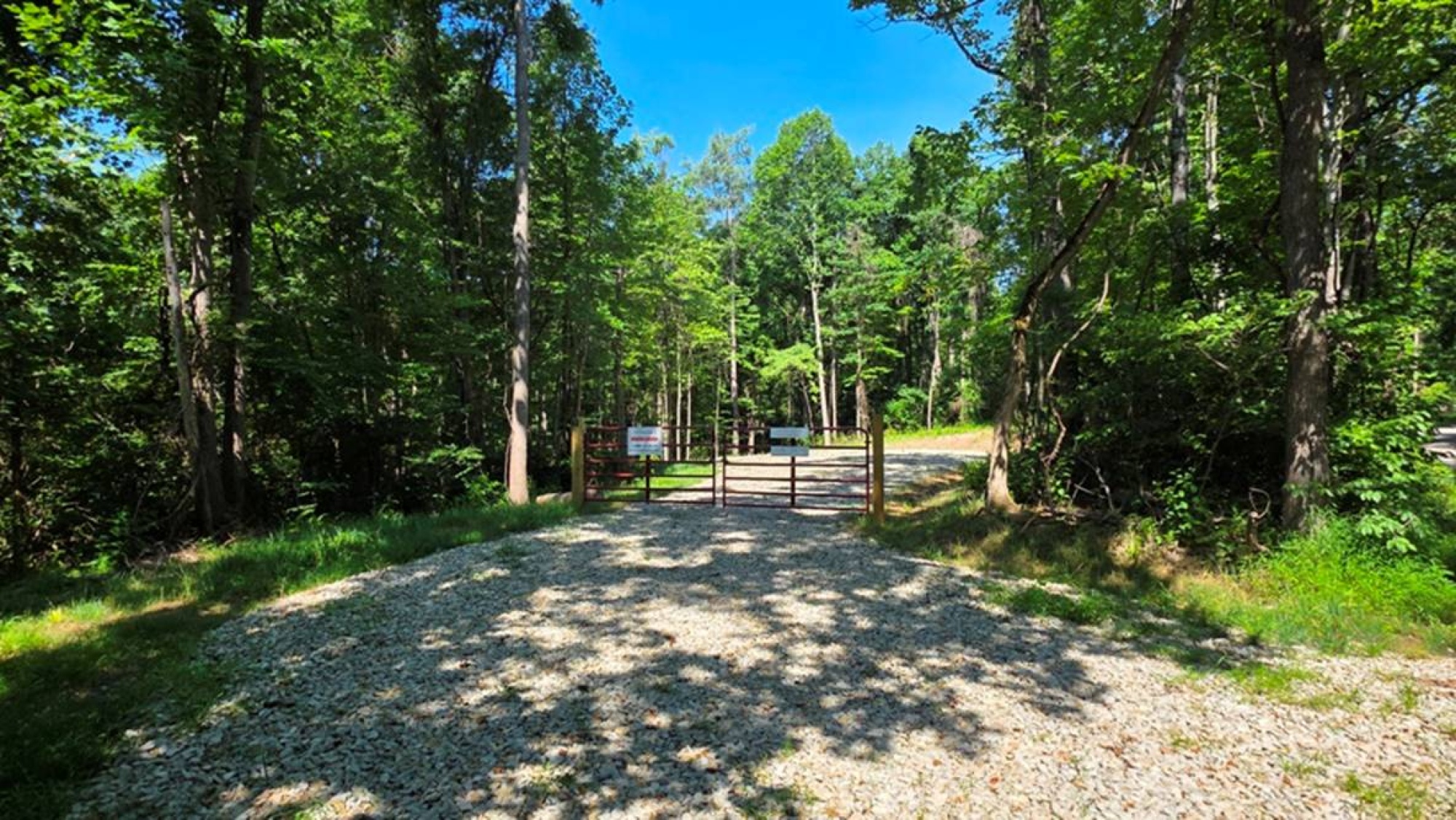
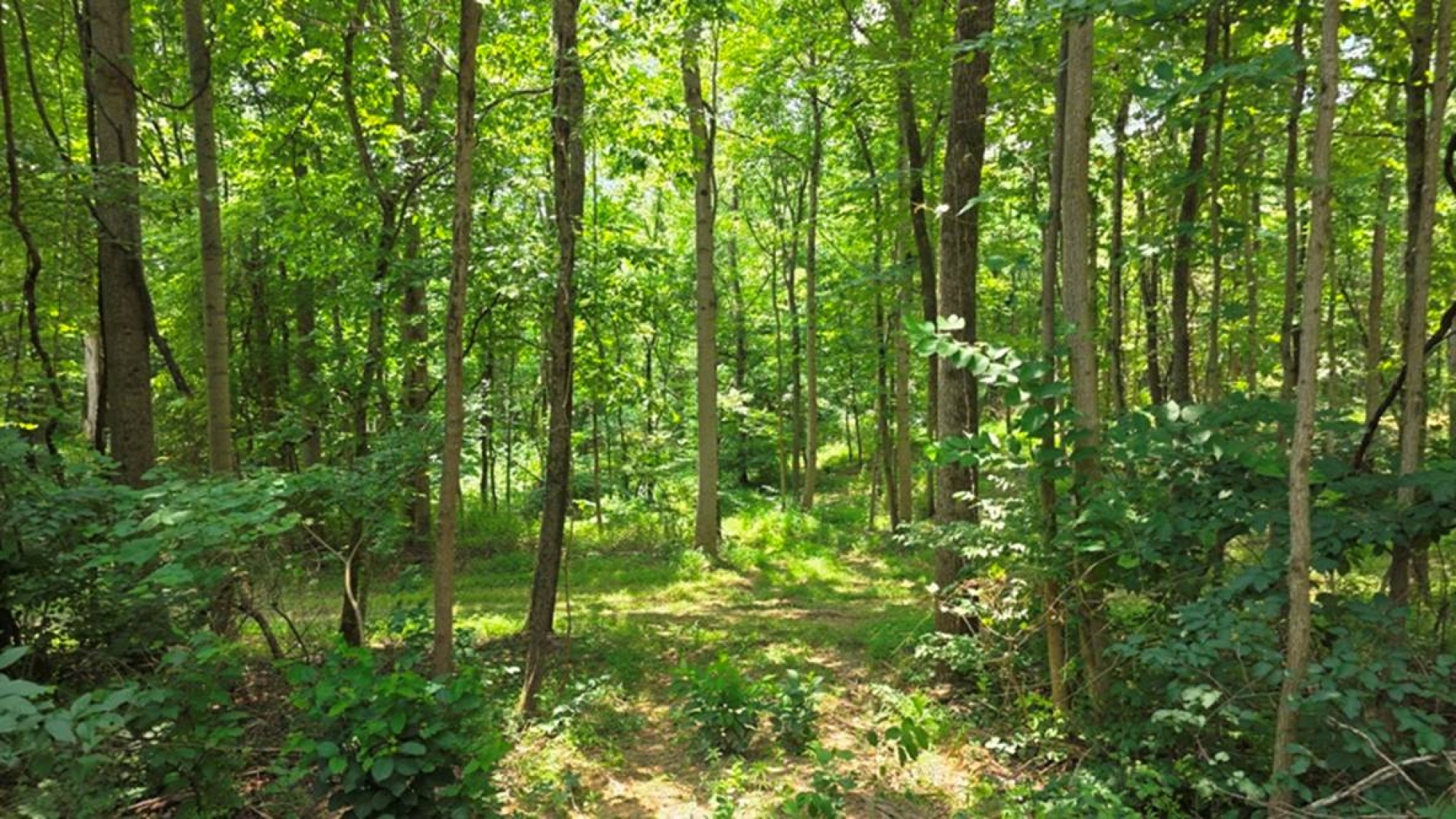
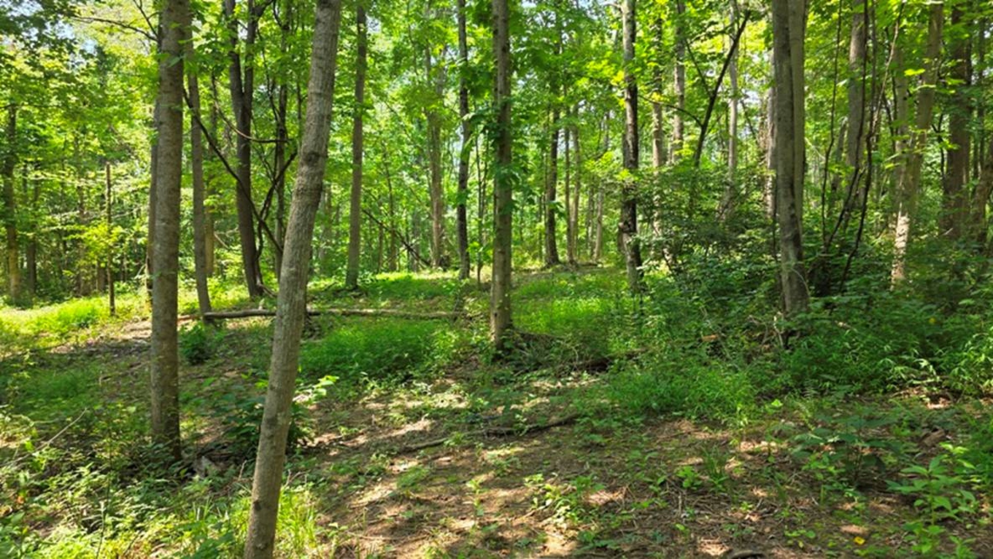
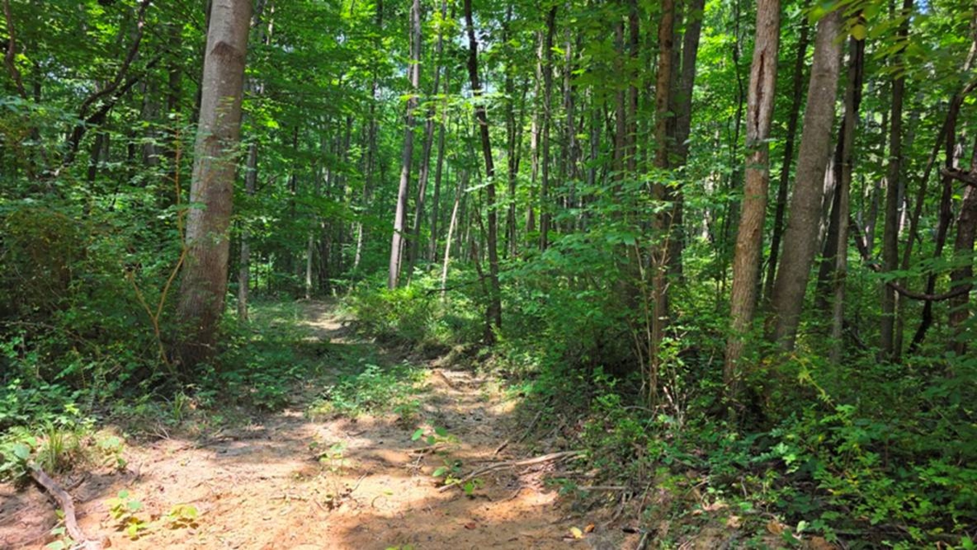
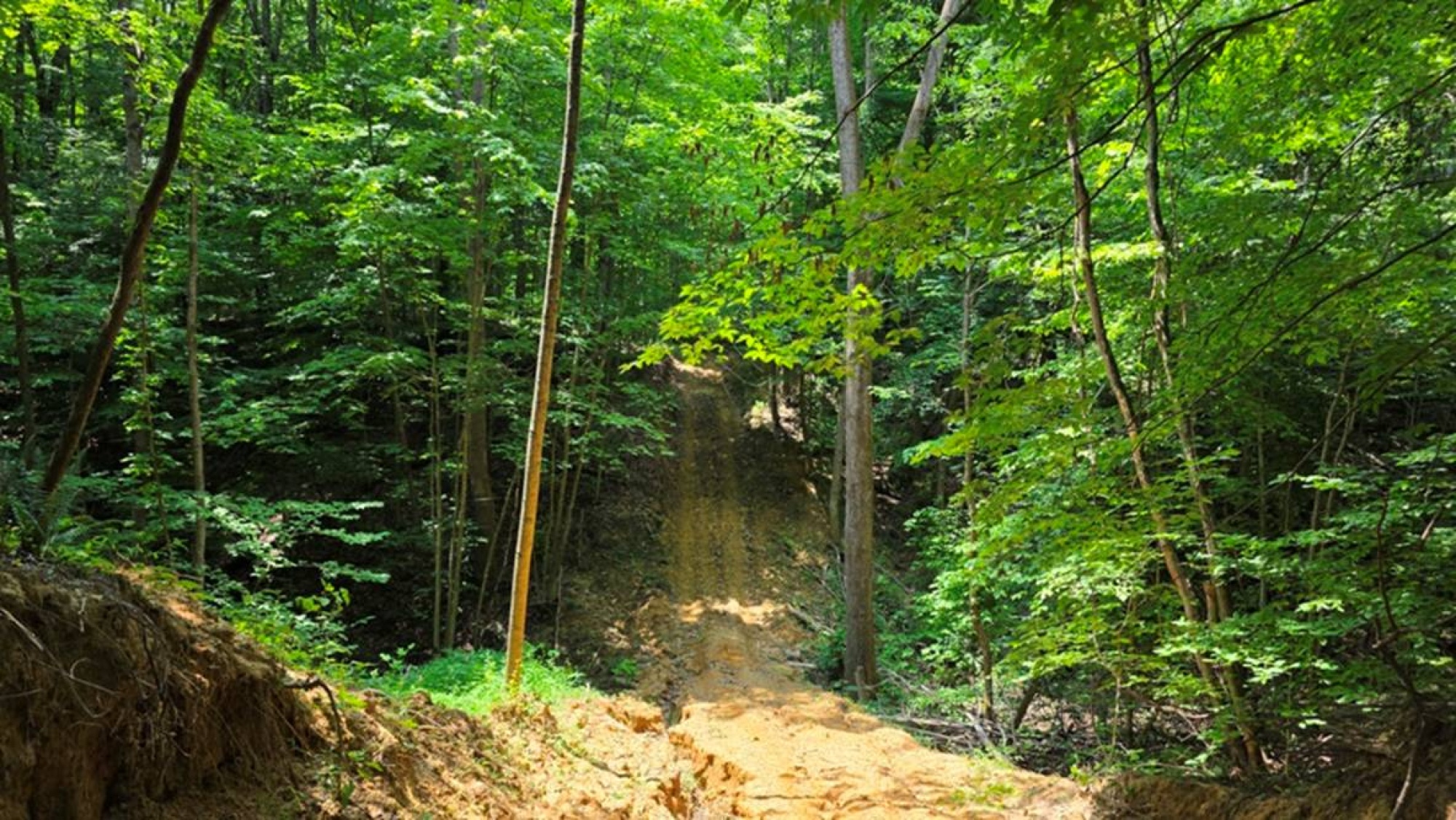
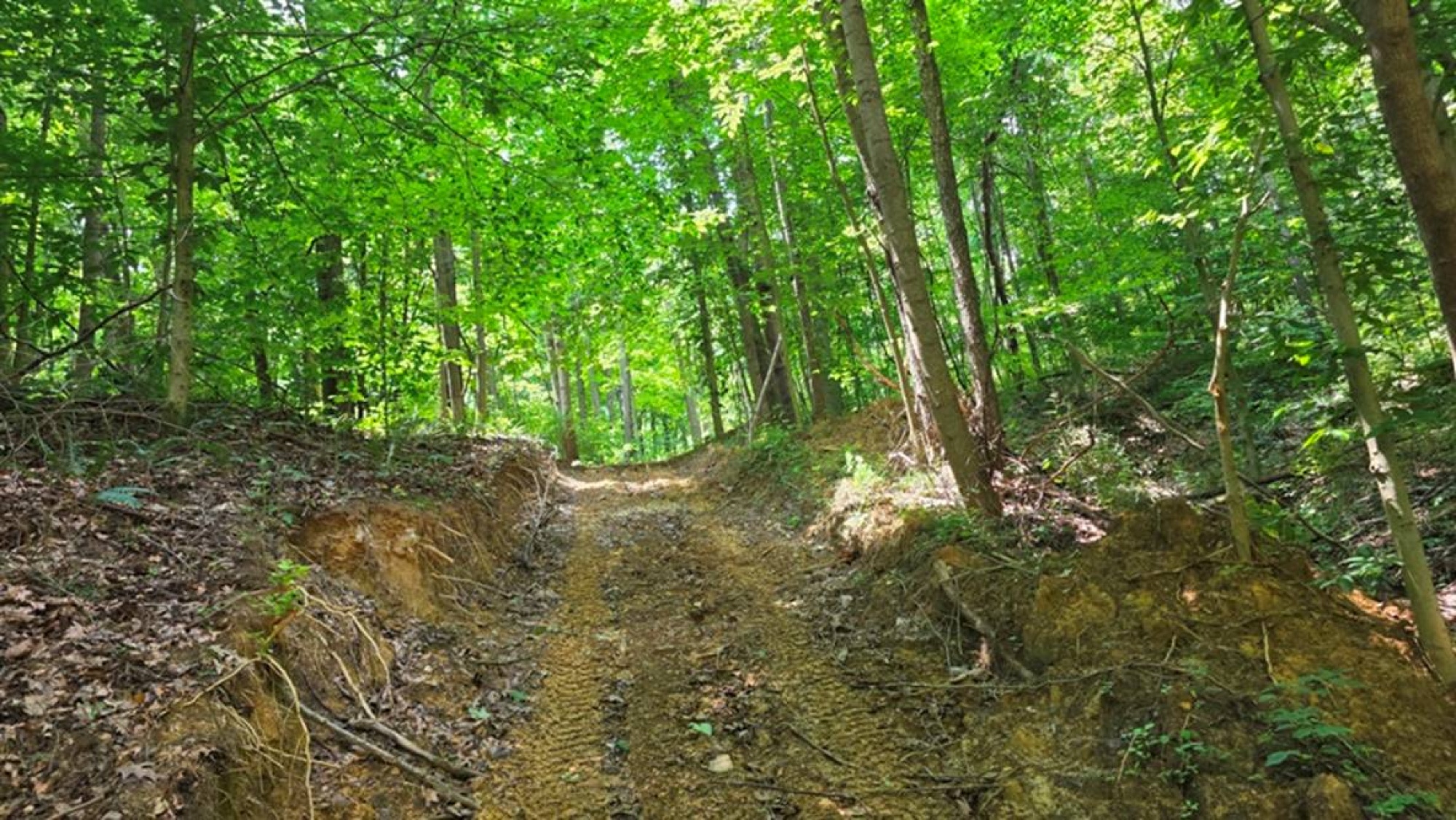
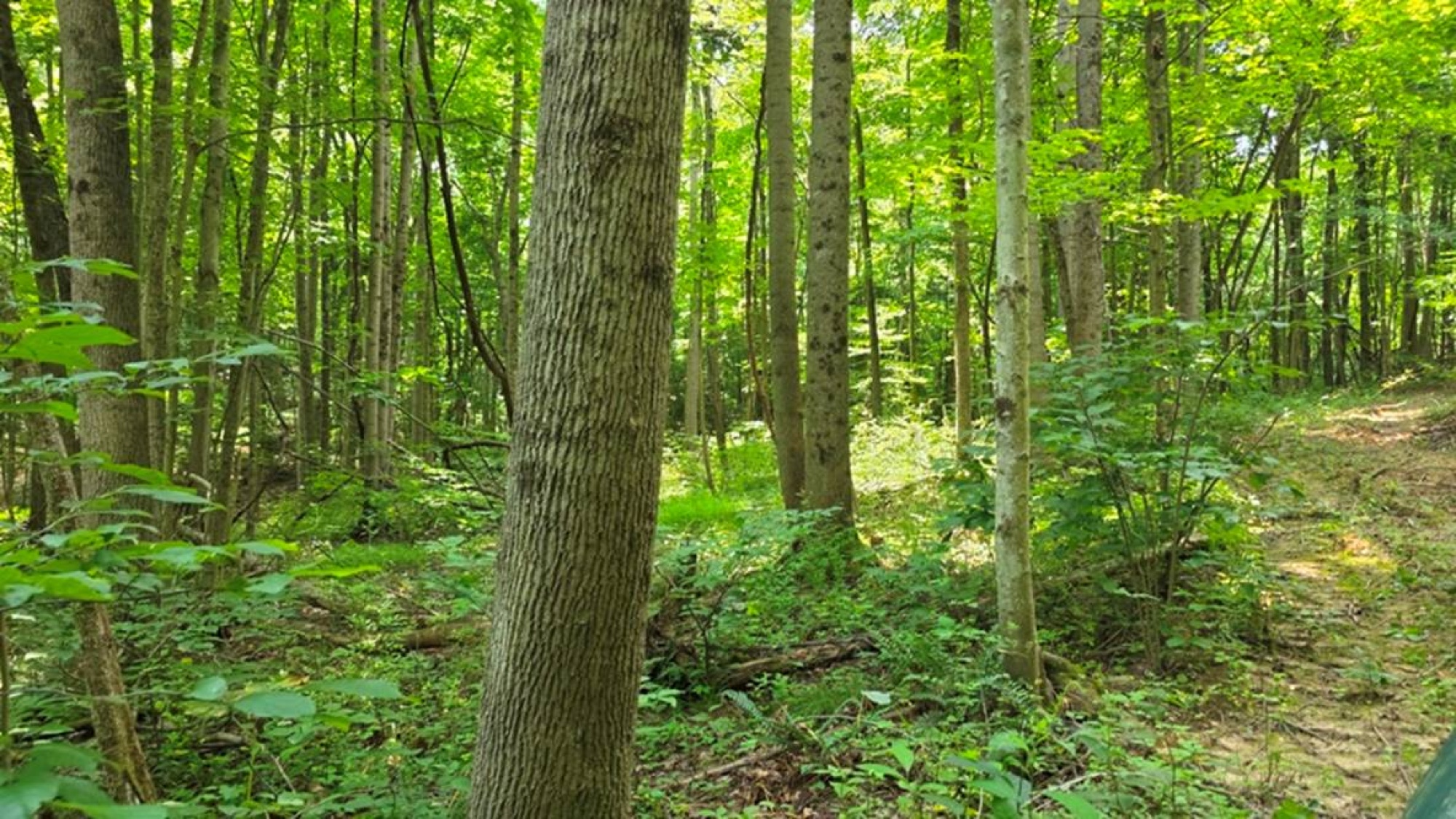
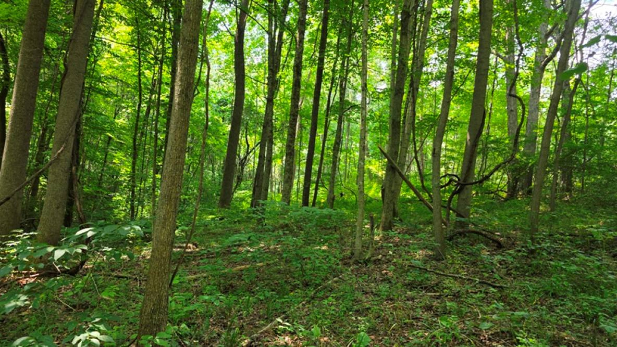
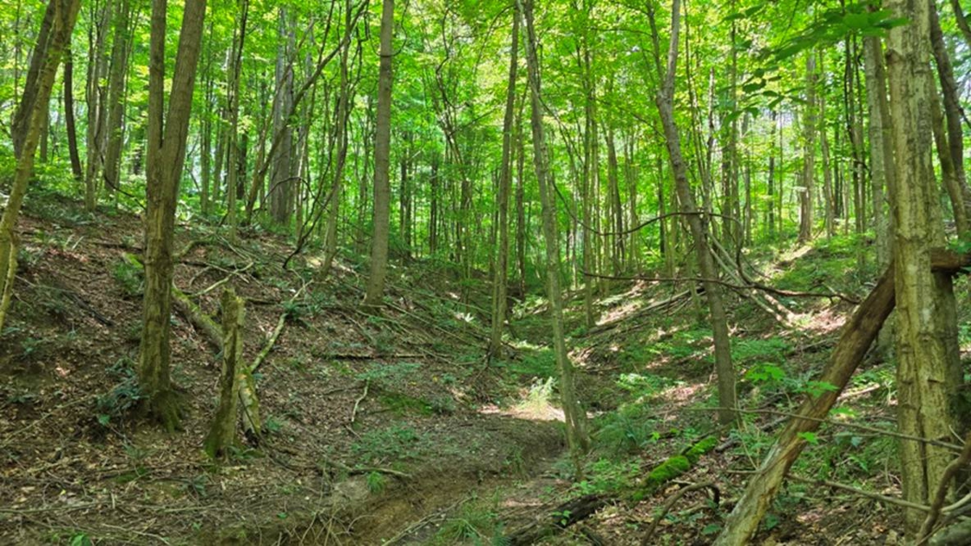
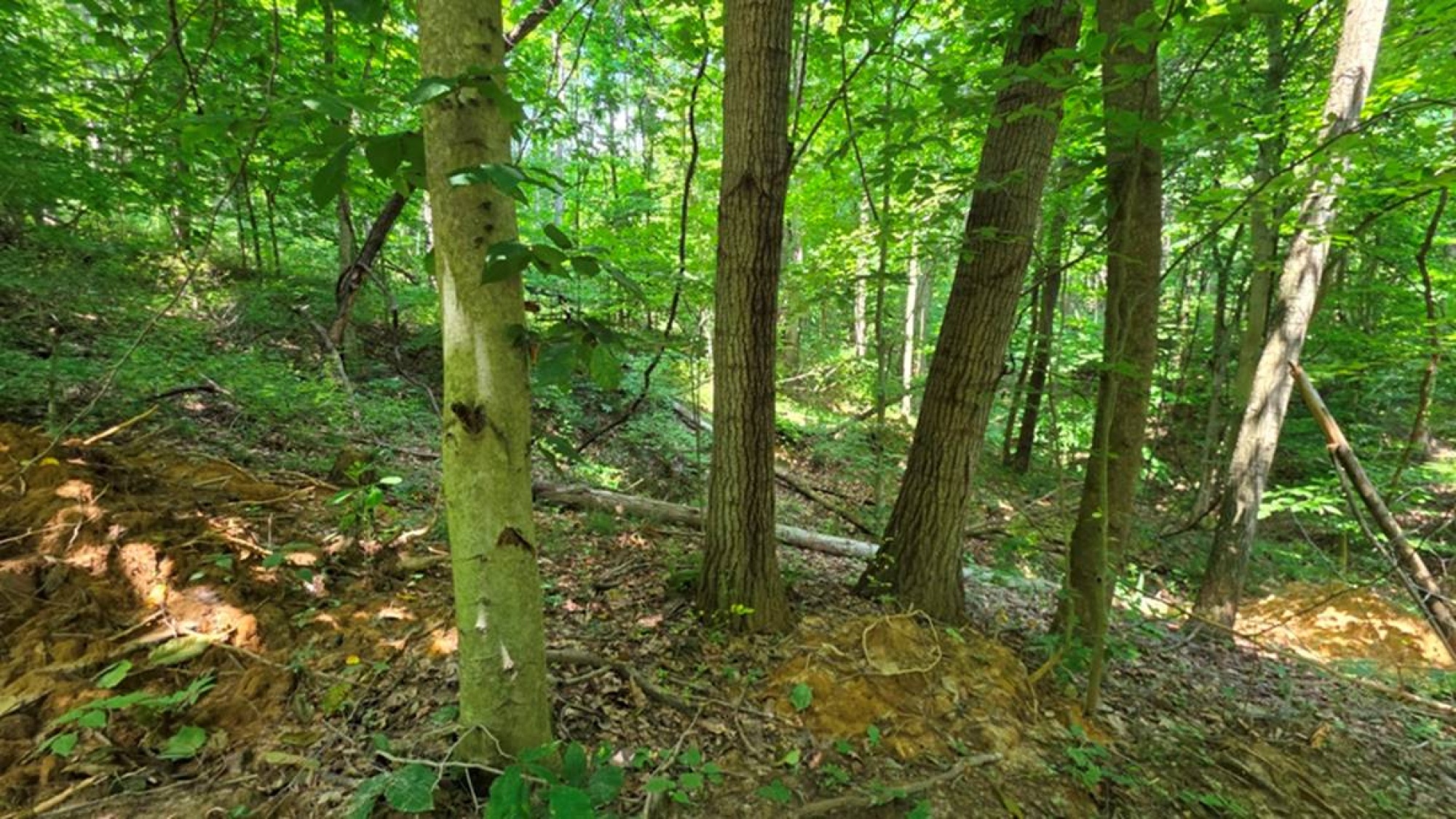
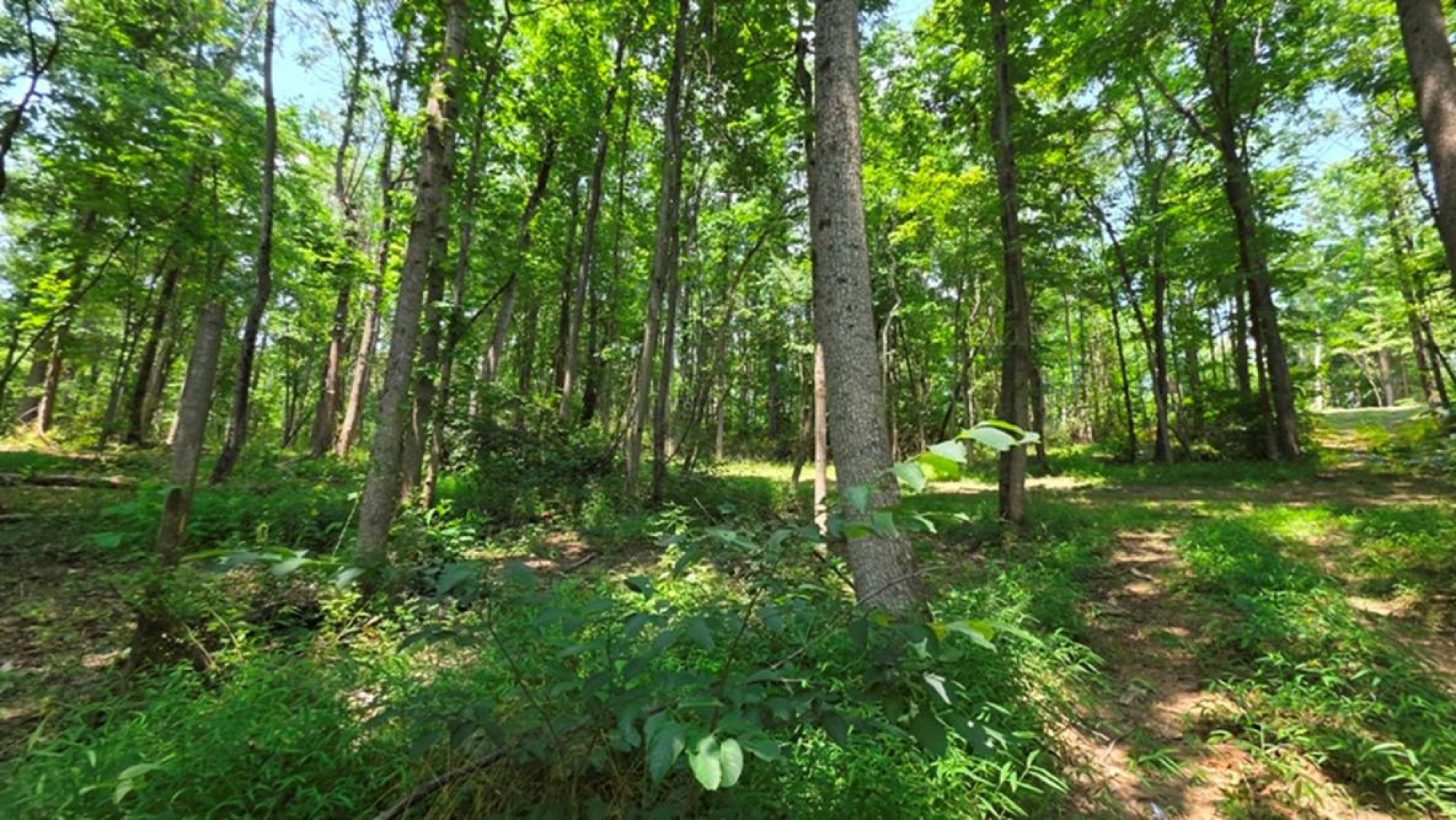
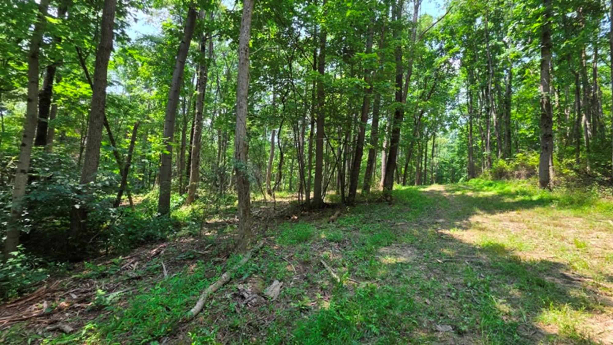
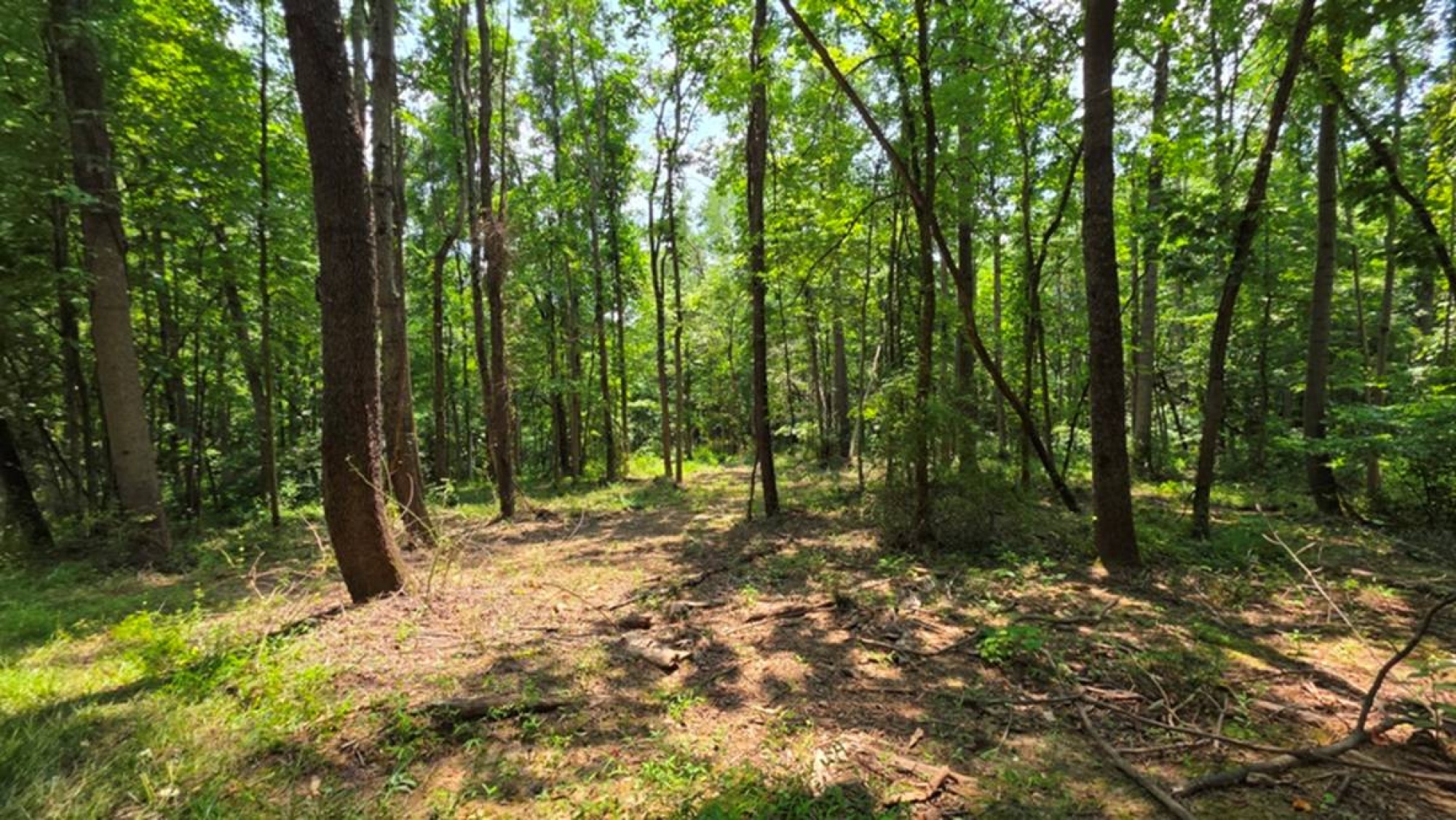
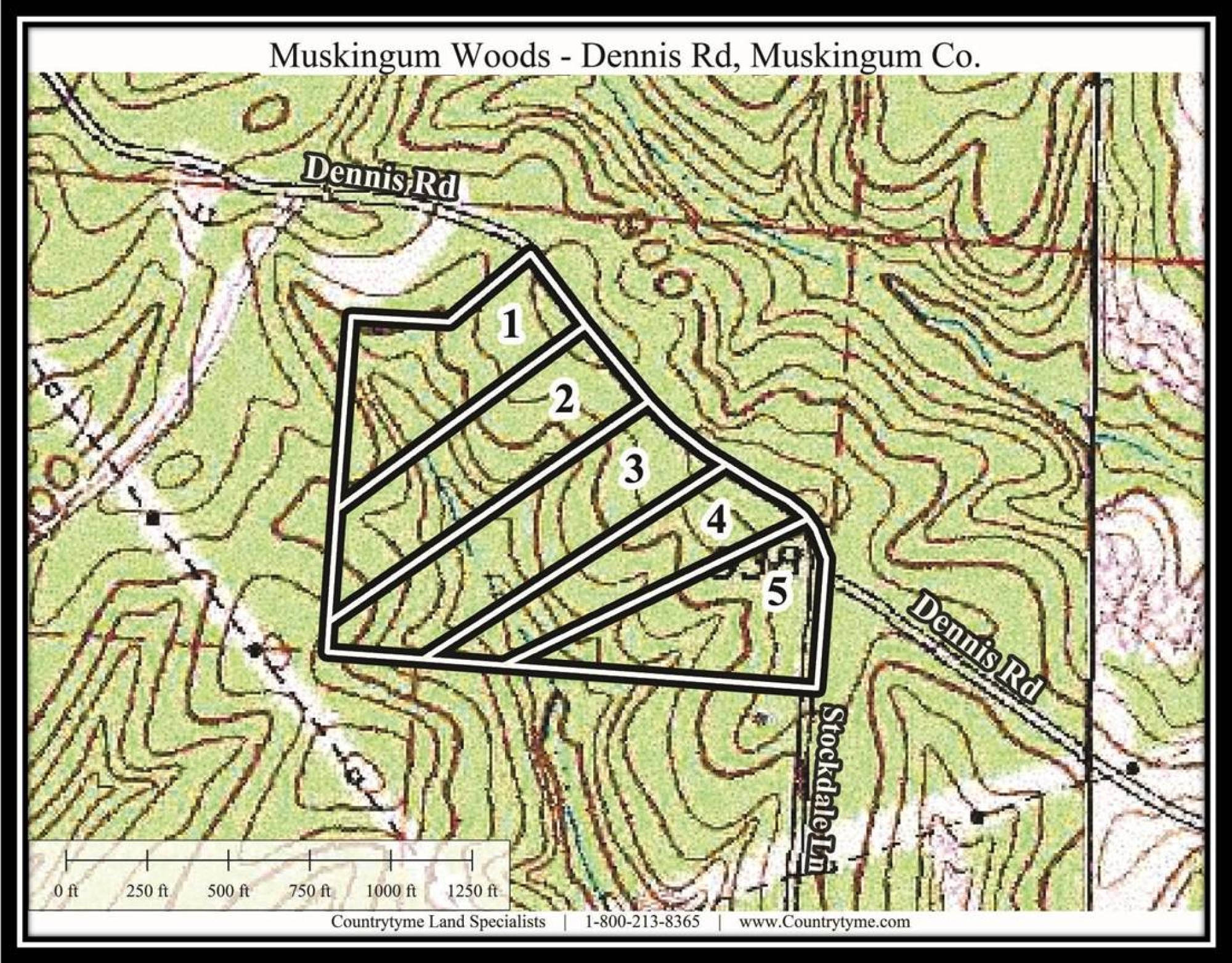
Tract 2 at Muskingum Woods offers 7.023 acres of wooded ground along a quiet country road, creating a great opportunity for a cabin, home, or private recreational retreat. A new gated gravel driveway leads back to a secluded wooded build site. The gently rolling terrain is well suited for a walkout basement, while a private trail system makes it easy to explore on foot, by ATV, or at your own pace. Loaded with wildlife, the tract offers plenty of room to hunt, hike, relax, or enjoy weekends in the country.
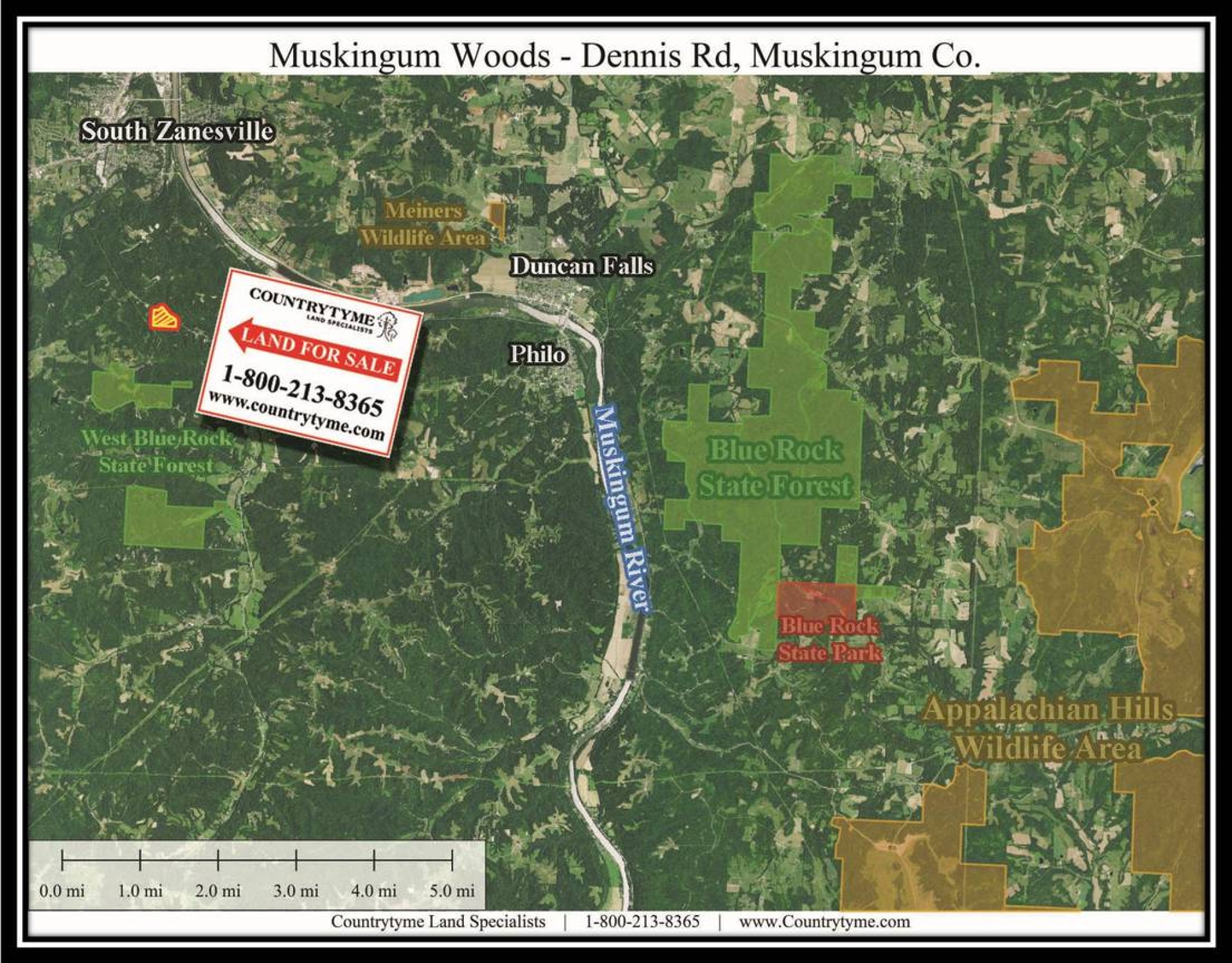
One of the property’s biggest advantages is the amount of outdoor recreation nearby. West Blue Rock State Forest is just 2 miles away, with Blue Rock State Forest and Blue Rock State Park also nearby for hunting, fishing, hiking, boating, camping, and horseback riding. The Muskingum River offers even more opportunities for fishing, boating, and kayaking. Jesse Owens State Park features thousands of acres of public land, lakes, ponds, trails, and outdoor recreation, while The Wilds offers one of Nations most unique wildlife and conservation attractions.
With a new fully approved survey, no zoning, minor deed restrictions, AEP electric available nearby, and additional tracts available, this property makes an excellent home site, base camp, or country getaway.
Muskingum Woods is located:
0 Dennis Rd, Zanesville, OH 43701
GPS Coordinates: 39.87115236, -82.00507722
Countrytyme Maps and Additional Information
A Countrytyme advantage
Take the property lines into the field.
On your phone, tap Walk property lines, allow your location when asked, and follow the blue dot in Tract Explorer to see your position in relation to the mapped boundary while you explore.
Walk property linesProperty photos